
Finding a Martinez Street Directory Trail
A useful Martinez street directory search starts with the address exactly as it appears on a bill, map, permit, or family paper. Enter the address in the county parcel tools and save the APN, situs address, map reference, and any legal-description clue. The county’s free GIS tools are strongest for geography. They do not publish every owner name online, so identity comes from the public assessment roll at the Assessor counter and from the recorded-document index.
Then move from present geography to documentary history. The street name helps you browse, but the APN and legal description keep the chain intact when a parcel was split, an address changed, or an old index used a different spelling. A street directory is most accurate when it labels each result as an owner, a party to an instrument, a permit contact, a historical taxpayer, or a directory occupant.
- Enter the street address in ParcelQuest Lite, CCMAP, or Martinez Community View and save the APN and parcel map.
- Use Community View to browse the whole street or CCMAP to inspect nearby parcels, aerials, contours, and radius relationships.
- Ask the Contra Costa Assessor for the public-roll owner and mailing address for each identified APN.
- Search RecorderWorks by the owner name, APN where its date range permits, legal description, or document number.
- Use permits, voter-file products only for a qualified purpose, and exact historic street sections to add household or chronology clues.
Note: A street-by-street record trail is a chain of sources, not a promise that every occupant appears in one directory.
Search a Martinez Street in Community View
Martinez Community View accepts a property address or a street. Its visible layers include property lines, aerial photography, General Plan and zoning information, flood zones, and public or private street context. Enter a street, select the autocomplete result, and zoom until the parcel lines can be read. The question-mark control opens the viewer’s help. The map is third-party hosted and the city warns that the data is not maintained by the city, so treat it as a location aid rather than a title source.
Community View is valuable when an address search needs to see the pattern around one parcel. It can show whether the next parcel is across a narrow lane, a private street, or a planning boundary. It cannot name every person at a parcel, and its visible property line does not establish the legal ownership interest. Corroborate the parcel with county records before attaching a name.
The official Martinez Community View map page is the right launch point for the street browse, while the county tools answer the APN and parcel-map questions.
Build Martinez Parcels with CCMAP
CCMAP is Contra Costa County’s parcel locator. It adds parcel geometry, square footage, lot size, parcel maps, aerial imagery, contours, and a radius selection. The county says its property information is updated monthly. A street address may be the easiest input, but vacant land or an imperfect address can require the APN. Save the map PDF and the APN before moving to a name search.
| Search or map control | Type | What it does | Limit |
|---|---|---|---|
| Street address | Address input | Locates a situs parcel | Address formatting and autocomplete matter |
| APN | Parcel identifier | Jumps to the assessor parcel | Does not itself name the occupant |
| Parcel geometry | Map layer | Shows boundaries, maps, aerials, and contours | Geography is not a title opinion |
| Radius selection | Map tool or prepared product | Groups parcels near a point | A prepared counter radius search costs $50 |
| Community View street | Address or street input | Adds zoning, flood, and public/private street layers | Third-party data needs corroboration |
For documented county products, the research lists a $3 map, a $2.50 mail charge, a $1-per-page property-information printout, a $7.50-per-parcel characteristics product, and a $50 prepared radius search. Confirm the current price with the Assessor before paying. The county property and parcel page keeps the free map tools and owner-name policy together.
Martinez Ownership Starts at the Counter
Contra Costa suppresses every online owner name from its property viewer, while keeping ownership in the public assessment roll. That quirk is central to a Martinez street directory. Use the web map to build a short APN list, then visit the Assessor at 2530 Arnold Drive, Suite 100, on weekdays from 8 to 4, or call 925-313-7400. Ask for a specific parcel rather than an open-ended search for everyone on a street.
Keep the situs address and mailing address in separate columns. The situs is the physical location used by the map and permit trail. The mailing address is where the owner receives assessment or tax correspondence. A match does not prove occupancy, and a mismatch does not prove that the property is vacant or that a named owner never visits it.
The Assessor services page shows the office route for property facts and public-roll questions.
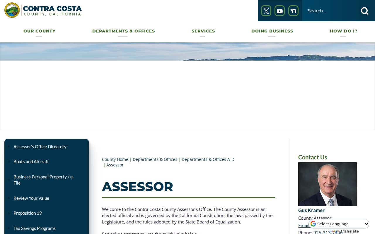
The counter is the missing identity step when the online parcel map shows the right land but no owner name.
| Parcel | A county-assigned unit of land identified by an APN. |
|---|---|
| Situs address | The physical address attached to the parcel location. |
| Plat | A recorded map that lays out parcels, lines, streets, or lots. |
| Criss-cross directory | An address or street-order directory used to work backward from a place to a dated household entry. |
Which Martinez Records Follow an Address
Several record sets can be joined by address or APN, but each has its own access rule. The table separates address-based starting points from records that provide a person’s name. Building permits can name an applicant, contractor, architect, owner-agent, or project contact. A permit date can establish a construction event, not household residence. Voter information can be grouped by address only through a qualified file and purpose.
| Record set | Keeper | What it shows | Access |
|---|---|---|---|
| Assessment roll | Contra Costa Assessor | Owner, mailing address, APN, values, characteristics | Owner identity at counter; facts online |
| Parcel and GIS map | CCMAP / Community View | Boundaries, aerials, zoning, flood, street status | Free online viewers |
| Recorded deeds and liens | Clerk-Recorder | Parties, instrument, date, document or book-page details | RecorderWorks 1986 forward; older books and counter |
| City permits | Martinez Building | Address, project, applicant or contractor, status | Accela or records request; fields vary |
| County permits | Conservation and Development | County-jurisdiction permit and planning history | ePermits 1980 forward; plans by request |
| Historical assessment books | CCCHS / Martinez Museum | Dated taxpayer, owner, and value trail | Physical local research |
Use the parcel to connect the map, assessment, deed, permit, and tax records. Use the street name to browse the community context. The result is stronger than any single street directory listing because each label states what the source actually records.
Bridge Martinez Addresses into RecorderWorks
RecorderWorks does not offer a simple modern situs-address tab. Bridge an address through the APN, the public assessment roll, the owner’s name, a legal description, or a known document number. The modern name index starts January 1, 1986. APN searches are available for deeds recorded March 3, 1997 forward. For 1986-1993 instruments, Book and Page can help. For older material, the Old Book workflow stages an index book, fiche cell, and document.
At the counter, the Clerk-Recorder at 555 Escobar Street can explain pre-1986 books, copy options, and the chain from an index result to the recorded instrument. RecorderWorks covers many types, including deeds, trust deeds, quitclaims, liens, judgments, leases, easements, maps, reconveyances, defaults and sales, distributions, patents, and water rights. The Old Book categories also include homesteads, tax sales, military discharges, oyster beds, squirrel liens, and a stallion register.
Note: An indexed party and document type show that an instrument was recorded, not that every statement in it describes current occupancy.
Follow Grantors and Grantees Along Martinez Streets
A grantor transfers an interest; a grantee receives one. To trace a property backward, treat the current owner as the grantee on an acquisition instrument, record the seller as grantor, then search that seller as an earlier grantee. The process reads: address to parcel, parcel to assessment owner, owner to grantee, deed to grantor, grantor to earlier deed, and legal description back through older books.
Record the party role, instrument type, recording date, document number, book and page when present, APN, and legal description. A later reconveyance, trust deed, lien, or subdivision map may explain why a name appears without being a resident. A legal description often bridges a changed street number better than a typed address. Do not call a party to a deed an occupant without a separate household source.
Martinez Permits Date Physical Change
Permit records help explain when a street-facing property changed, but they are administrative evidence. Martinez’s Accela route supports online applications and status tracking for incorporated property. The Permit Center at 525 Henrietta Street can be reached at 925-372-3515, weekdays 8 to 11:30 and 1 to 4. Through August 31, 2026, online or in-person submission is allowed; scheduled electronic-only submission for new applications begins September 1, 2026, with a narrow Chief Building Official exception.
Unincorporated postal territory can shift the search to Contra Costa ePermits, whose documented county coverage begins January 1, 1980. Plans and application documents require a Records Research Request through Conservation and Development at 925-655-2713. A permit can name an applicant, contractor, architect, owner-agent, or project contact. An issued date can date a physical change, while an application date proves only that a request was submitted.
The county property research page explains how ePermits, Laserfiche parcel maps, annotated assessor books, and written requests fit together.
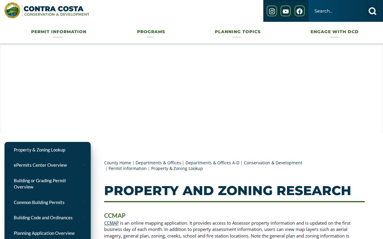
Use a specific address and time range. Active or investigative code material may be withheld or redacted, and a permit file should never be described as a full neighbor roster.
Read a Martinez Street in an Historic Volume
Older street evidence depends on the exact volume. Research confirms a Polk Richmond and Contra Costa County Directory for 1914-15 and local use of Richmond and Martinez telephone directories from the 1920s and 1930s. The continuous reverse-directory run and exact Martinez sample page were not verified. Inspect the volume’s own street or householder section, its abbreviation key, and its publication date rather than importing a generic convention.
Assessment books provide a second address trail. Contra Costa County Historical Society books cover yearly property taxpayers from 1850 through 1910. Martinez Museum assessment books run from 1884 into the late 1940s. Pair those entries with the census, newspapers, probate, and the exact directory year. The Martinez city directory collections page owns the shelf and reading method; the address guide uses the result only to add dated household context.
Why Martinez 94553 Can Switch Offices
Martinez’s verified principal standard ZIP is 94553, but postal territory reaches outside incorporated city limits. A 94553 address can sit in the downtown county-seat core, Northside and waterfront, Granger’s Wharf, a central or south subdivision, or adjoining unincorporated county territory. The postal city does not choose the records custodian.
Confirm delivery with the USPS ZIP lookup, then confirm jurisdiction with CCMAP or Community View. The USPS screen verifies the mailing route for an address search.
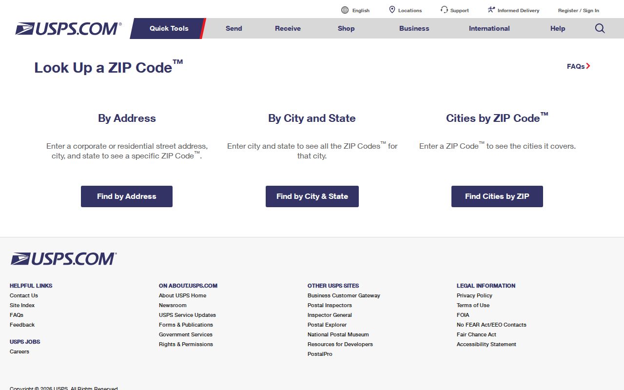
Once the parcel is mapped, choose Martinez Accela for incorporated property or county ePermits for unincorporated territory. This check prevents a well-written request from landing with the wrong agency.
Limits of a Martinez Street Search
No public Martinez street directory is a complete household roll. Non-owner occupants, household members, minors, recent movers, and people who do not appear in a given historical volume can be absent. DMV addresses, utility customer records, delivery lists, and a full private association roster are not open street sources. Voter addresses are purpose-limited, and protected participants can be withheld.
Owner identity is also not occupant identity. An assessment roll may show a mailing address, a deed may show a party, and a permit may show an applicant. Those clues can be combined for family history, a house history, reconnection, or a narrow records question, but the result must keep its labels and dates.
Lawful use. Martinez address records are for personal, lawful research and civic understanding. Using a street directory or public result to stalk, harass, intimidate, or harm anyone can violate California law and the rules of the custodian.
The safest street directory workflow stops when the source stops. It does not fill a gap by guessing who lives at a parcel.