
Martinez Block Lookup Sources at a Glance
A block-level neighbor search needs a source that matches the question. Maps show parcel relationships, the assessment roll identifies an owner for an APN, voter data is available only for a qualified purpose, and civic directories name public participants rather than every household. Historical directories can show past occupants when the exact volume has a street section. None of these sources is a complete current neighbor list.
| Source | What it shows about a block | Access |
|---|---|---|
| CCMAP radius and parcel map | Parcel pattern, APNs, physical characteristics, nearby polygons | Free map; prepared radius product costs $50 |
| Martinez Community View | Adjacent lines, street, aerial, zoning, flood, public/private context | Free viewer; third-party data warning |
| Assessor public roll | Owner and mailing address for each identified APN | Counter or documented county product |
| Qualified voter file | Address-grouped registration, status, precinct, history | Purpose-limited statutory request |
| City advisory directory | Named civic appointees and public contacts | Official city page |
| Directories and archives | Dated household, taxpayer, and historical block clues | Library, CCCHS, Museum, in person |
The table’s separation matters. A parcel can be adjacent without sharing a mailing route, a person can own without occupying, and a public civic contact can be unrelated to the surrounding homes.
Map the Parcels Around One Martinez Address
Start with a known situs address in CCMAP or Martinez Community View. Select the autocomplete result, save the APN, zoom to the parcel polygon, and inspect the parcels that share a boundary or sit within the requested radius. Record the APNs rather than copying names from an unverified map label. A parcel boundary is the block’s physical frame; it is not evidence that every person nearby is part of the same household.
The block flow is simple: address to target parcel, target parcel to adjacent polygons, adjacent polygons to APNs, APNs to the public assessment roll, and each owner record to any separate deed, permit, or historical source that can corroborate it.
- Locate the target address and confirm the situs point on the map.
- Zoom out one block and select the surrounding parcels or use the radius tool.
- Save each APN and map reference before asking for an owner or mailing record.
- Compare the owner roll with the parcel, deed, or permit source without calling it an occupant list.
- Use the full Martinez by-street records route only when the question expands from the immediate block to an entire named street.
Use Martinez CCMAP Radius Selection
CCMAP expressly offers radius selection in addition to parcel, address, aerial, contours, and map tools. A free viewer can help a researcher see the shape of the block. A prepared counter radius search is listed at $50, while a property-information printout is $1 per page and a characteristics product is $7.50 per parcel. Confirm the current fee and the precise product with the Assessor before ordering.
Radius is a geographic operation, not a people search. It can include a back parcel, a private lane, a corner lot, a public facility, or land in a different planning jurisdiction. Mark the center point, distance or product scope, APN set, and date. If the map layer conflicts with a recorded map or legal description, follow the recorded source and ask the county for clarification.
| Free map view | Parcel lines, APNs, aerial imagery, contours, and surrounding geography. |
|---|---|
| Radius selection | A parcel grouping around a point; prepared county product listed at $50. |
| Owner identity | Public assessment-roll channel at the Assessor, not an online map label. |
| Community View | City planning, zoning, flood, and public/private street context, with third-party data caveat. |
Retrieve Each Martinez APN Carefully
Once the adjacent APNs are saved, ask the Contra Costa Assessor for the owner and mailing address for each specific parcel. The Assessor is at 2530 Arnold Drive, Suite 100, Martinez, weekdays 8 to 4, 925-313-7400. The county intentionally suppresses owner names online, so a missing name on CCMAP is a policy boundary rather than a failed map.
Use one record sheet per APN. Label the situs, owner, mailing address, assessed facts, and retrieval date. A mailing address can match the parcel, point to another place, or belong to an entity. None of those outcomes proves who is currently at the home. If the goal is title history, bridge to RecorderWorks. If the goal is a construction event, check the correct city or county permit office.
Note: A neighbor lookup should preserve the difference between a parcel owner, an occupant, and a person who receives mail there.
Owner Lists Are Not Martinez Resident Lists
Official rolls and commercial neighbor tools answer different questions. The county assessment roll is tied to a defined parcel and has a custodian, while a commercial compilation may merge public and private sources, lag behind changes, or join people with similar names. Neither category should be treated as a complete household roster.
| Source category | Strength | Limit |
|---|---|---|
| Official map and parcel roll | Defined APN, boundaries, assessed facts, public-roll ownership route | Owner is not automatically occupant; online name suppression applies |
| Recorded deed index | Named party, instrument, date, legal description | Party to a record is not proof of current residence |
| Commercial neighbor compilation | May offer a lead assembled from multiple sources | Accuracy, freshness, provenance, and lawful-use limits vary |
For a Martinez neighbor lookup, a source with a clear custodian is easier to correct than an anonymous combined profile. Preserve the APN and source date, then stop when the office does not maintain the requested household fact.
Downtown Core, Shoreline, and Martinez Suburban Blocks
Martinez blocks are shaped by local geography. Planning material identifies the Downtown Core around the railroad, Berrellesa, Green, and Court streets; Downtown Neighborhoods west and south; Downtown Shoreline and Granger’s Wharf; and east and south suburban areas. Northside and waterfront parcels can show a different record history from postwar subdivisions, while Alhambra Valley orchard parcels may retain legal-description continuity where street searches are weak.
Use that geography to choose the next source, not to infer a person. Downtown blocks are close to city and county record desks. A postal 94553 address outside the incorporated city may switch permit custodians to Contra Costa County. A parcel’s map, legal description, and jurisdiction remain stronger than neighborhood labels in a neighbors search.
Martinez Advisory Bodies Add Context
The City of Martinez advisory-body directory names appointed residents and public contacts for bodies such as Cemetery, Civil Service, Diversity and Cultural, Parks, Recreation, Marina, Arts, Planning, Veterans, Measure D, and Measure X. These names show public civic participation, not a block roster. They can help explain an official contact or a community issue, but they should never be used to infer that a person lives near the topic under discussion.
The page is an official public source for civic roles and contact routes. Funded community groups listed for FY2025-26 include Loaves and Fishes, John Muir Association, St. Vincent de Paul and St. Catherine, Worth A Dam, Grace Episcopal, Meals on Wheels, Bay Area Bike Project, Diablo Regional Concert Band, Martinez Education Foundation, RES Success, Joe DiMaggio Hometown Hero Project, and Safe and Sober Grad Night. Those organizations identify public programs, not membership lists.
| Community layer | What can be checked | What remains private or uncertain |
|---|---|---|
| Advisory bodies | Appointed name, body, and public contact | Home address and complete membership context |
| Funded community groups | Organization and public program connection | Member or volunteer roster |
| Neighborhood associations | Only a named official contact if published | No complete current Martinez HOA inventory was verified |
Verify Martinez Neighborhood Associations
City planning material says Martinez has many HOAs ranging from loose affiliations to formal maintenance, character, landscaping, or vehicle rules. Research did not locate an authoritative current list naming every association or a public member directory. Treat a private association as a governance or contact layer, not as an open roster of neighbors.
If a public association contact is needed, start with the city’s advisory and community pages or ask the association directly through a published channel. Do not ask the Assessor, GIS viewer, or voter file to create an HOA list they do not maintain. The absence of a public directory is a real research result, not an invitation to assemble one from unrelated names.
Start Martinez Privacy Choices at the Source
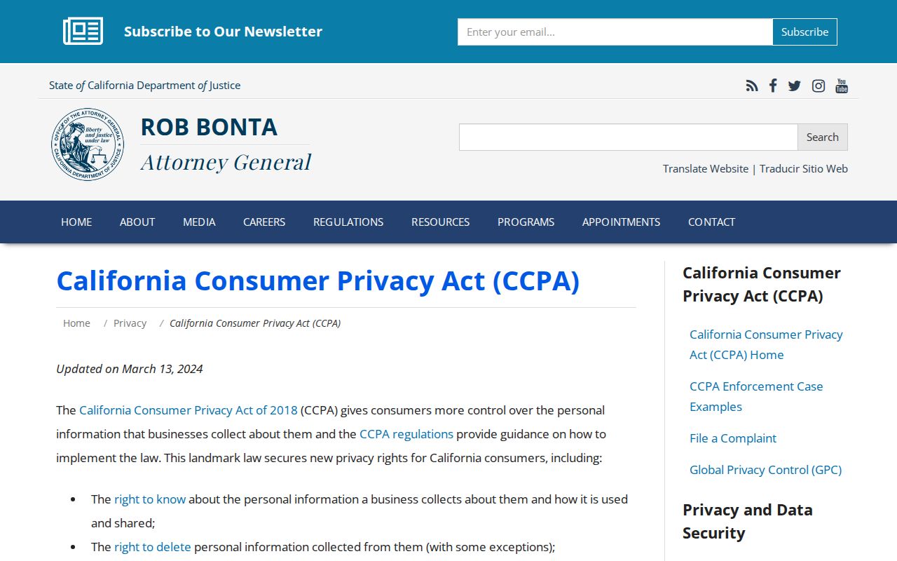
California privacy rights can help with data held by businesses, but they do not erase a county assessment roll, court index, recorder instrument, or vital record. The California Consumer Privacy Act includes rights to know, delete, correct, opt out of sale or sharing, limit sensitive use, and receive equal treatment. Lawfully public government-record information is outside the broker’s control.
The California privacy rights page explains the public-record limitation for a Martinez neighbor lookup.
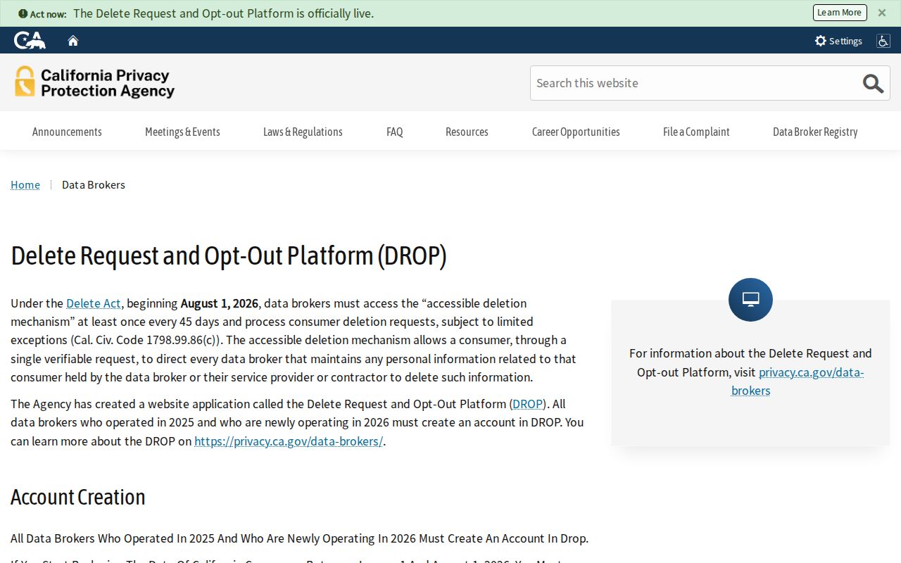
California’s DROP program opened January 1, 2026. One request reaches active registered data brokers, with processing beginning August 1, 2026 and checks at least every 45 days, subject to exceptions. The California Privacy Protection Agency registry explains that broker deletion is separate from correcting a county source.
The data-broker registry is another privacy route, not a parcel or neighbor search.
For qualifying survivors and other protected participants, Safe at Home offers substitute-address and confidential-voter processes. Never try to reverse those protections through a map, association contact, or public-record trail.
When a Martinez Neighbor Search Must Stop
Non-owner occupants, household members, minors, recent movers, utility customers, delivery recipients, and protected residents are not a complete public block list. DMV addresses are confidential, voter information has a statutory purpose test, and an owner or civic appointee is not automatically a current neighbor. Public access to a parcel map does not create permission to monitor a person.
Use the counter, phone, map, written request, library, archive, and official portal channel that belongs to the record. For an administrative file, the California Public Records Act can support a narrow request. For a court, vital, deed, or voter record, use that custodian’s own rules. If the goal is a safety concern, use local authorities rather than building a private dossier.
Lawful use. Martinez neighbors research is for understanding a block, reconnecting, family history, civic participation, and personal safety awareness. Do not use a neighbor lookup to stalk, harass, intimidate, monitor, or harm anyone.
A responsible neighbors result ends with the parcel, source, date, and limit clearly stated.